
Tel: 07753 655 471 Email: info@ardigitalsurveyors.co.uk
Topographical Surveys
Topographical surveys provide visual representations of features found both above and below ground, in areas of varying sizes. For project managers and development planners, this provides both a detailed understanding of the area being worked on, and the opportunity to prevent costly risks further down the line.
thorough & expansive knowledge

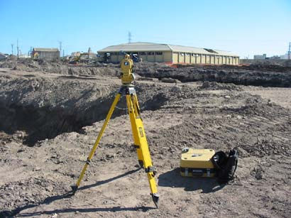
Every member of the team at AR Digital Surveys has a thorough and expansive knowledge of topographical surveying techniques, as well as experience with the most top-of-the-range equipment available today.
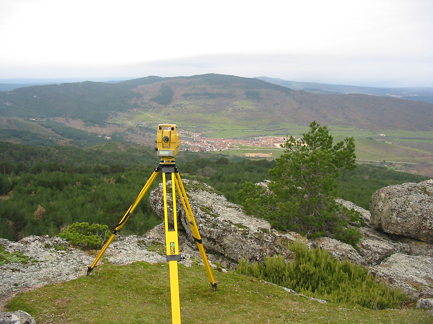
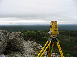
On smaller sites, our team employs Topcon or Leica Total Station equipment to visualise even the smallest details, whilst on more open spaces we take advantage of Leica GPS equipment to best capture the 3D observation that benefits our clients the most.


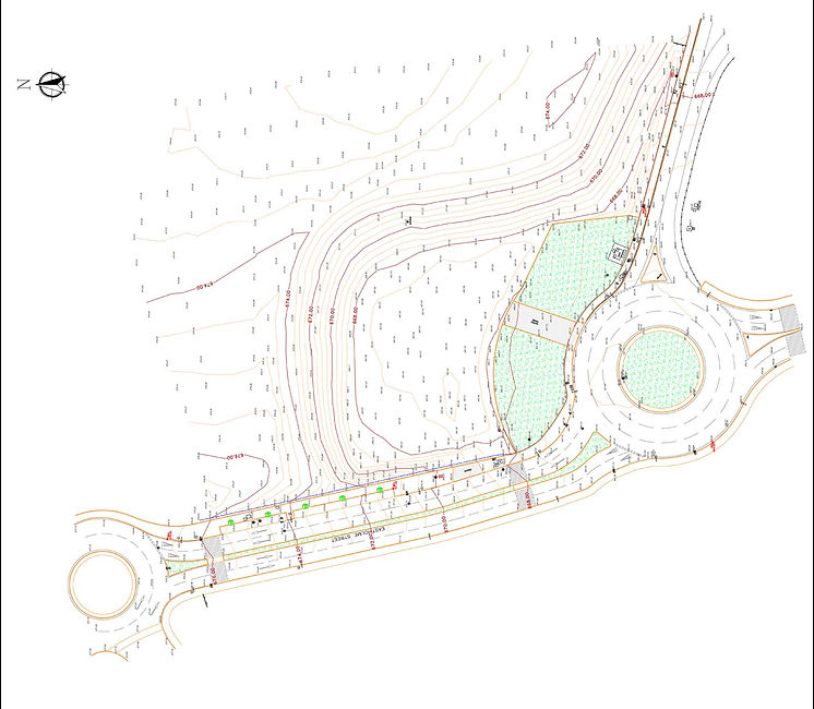
Once this data is collected, our team processes it using dedicated surveying software to produce a Digital Terrain Model - a complete visualisation of the surveyed area. The Digital Terrain Model provides clients with the opportunity to produce sections and volumes to their individual specifications.
Projects which have benefited from topographical surveys include:
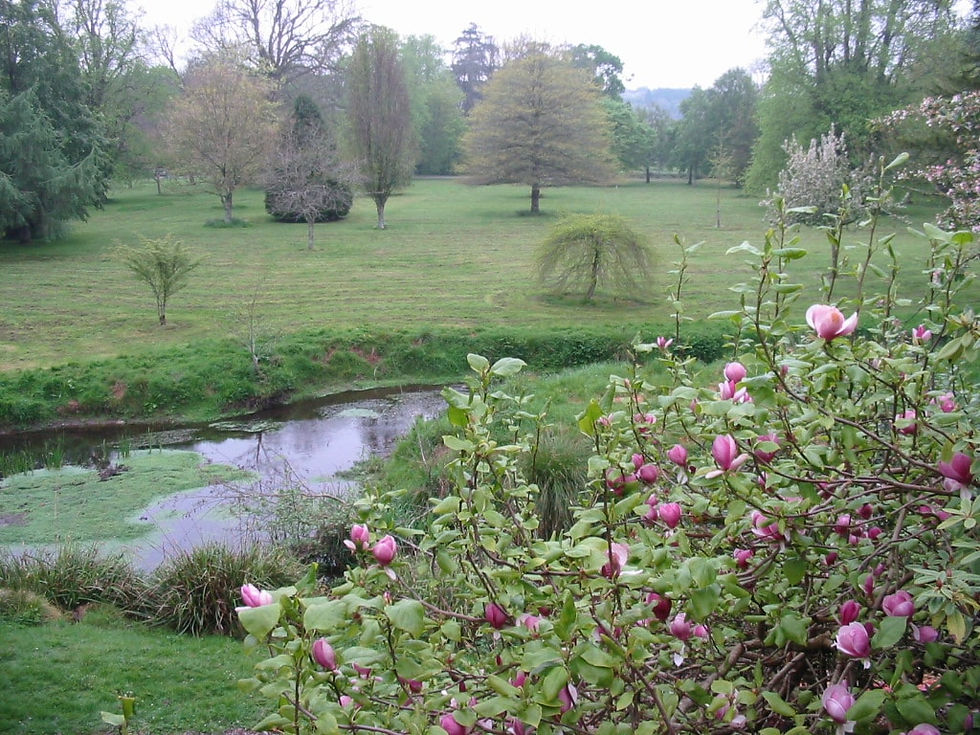
Green Field Surveys
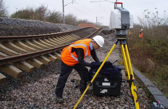
Highway and Railways Surveys
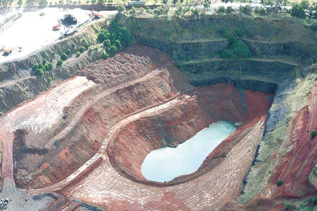
Quarry and Garbage Dump Updates
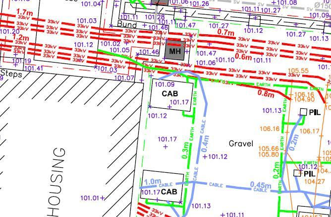
Full Mapping Surveys
Volumetric Surveys, Earthwork & Landfill Updates
In need of a topographical survey before undergoing work on a project?
Get in touch now to discuss your requirements and learn more about how AR Digital Surveys can help.
Call: 07753 655 471